


Publication service of geodatasets [BRGM]
![]()
Public Authorities at various levels must now share their geo-information data in
the environmental field with the public and other authorities.
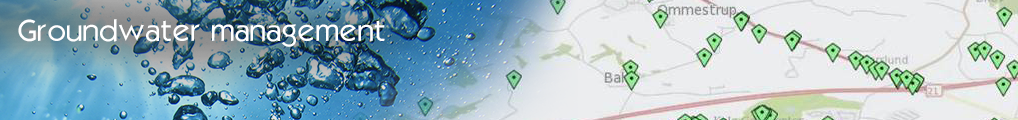
In the "Publication service of geodatasets" use case, implemented by BRGM, the IGC
platform provides both producers and users with an infrastructure offering the
relevant interfaces and technical support to ensure the quality and success of the
publication of availablegeodatasets.
Once a few basic conditions are fulfilled (internet access, specific files format,
availability and access on the Internet…), the IGC platform enables producers to
publish their geo-datasets on the Internet as webservices, compliant with OGC
international standards and INSPIRE. They can combine them into maps including data
and layers from various sources, in different formats, which they can customize adding
symbols, characteristics, attributes and parameters, as needed.
Specific requirements are set upstream(producer): various tools and controls are
applied during the process to ensure compliancy of datasets and specific locks added
to secure access to the publication by the public. Further requirements are linked to
performance, capacity, availability of services following the INSPIRE prescriptions.
Downstream, the configuration of the interface and services provides a
user-friendly and performing tool for the citizens to access public information made
available in the environmental field.
- Log in to post comments
Last updates
Project's Calendar

Only for consortium members
Contact: you can contact the Consortium using the generic address: contact [@] ingeoclouds.eu. Thanks!
This project is partially funded by the European Commission CIP Program. This website reflects the views of the authors only, and the Commission cannot be held responsible for any use which may be made of the information contained therein.

InGeoCloudS Users Documentation and other documents of this Web
site by the InGeoCloudS consortium members
are licensed under a Creative Commons Attribution-NonCommercial-ShareAlike 3.0 Unported License.
Based on a work at http://www.ingeoclouds.eu/.
Ad banners and pictures are (c) AKKA Technologies
Powered by Drupal